Panoramas

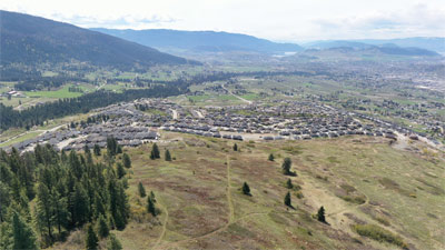
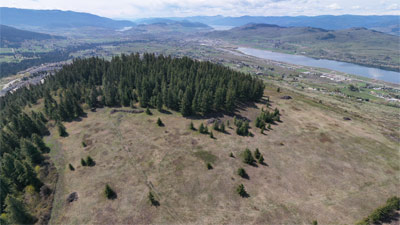
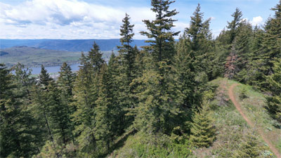
These are 360 degree aerial panoramas. The Panorama looks best if viewed in full screen. Click on the icon on the upper right hand corner (with 4 arrows pointing outward).

To properly view the Panoramas, if you have a touch screen, drag your finger across the screen and the Panorama scrolls around. Same effect using a mouse (click and hold) on a non-touch device.

Also, with a phone or a tablet, you should be able to stand, hold the device level with your eyes and turn around. The image should scroll as if you are actually there turning your head.
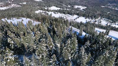
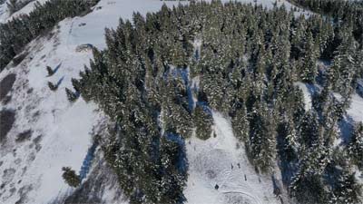
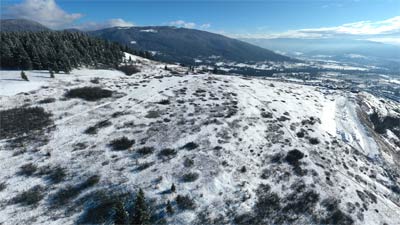
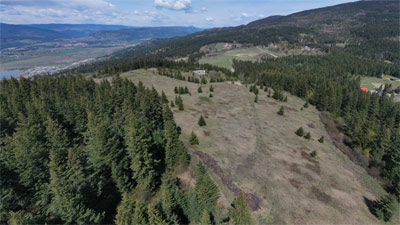
Pano 1 - Apex 70 metres above
Card image cap
Go
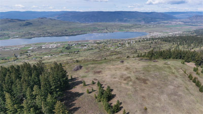
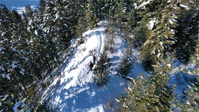
Pano 3 - West Face Apex - 50 metres above
Card image cap
Go
Pano 5 - West Face plateau-level
Card image cap
Go
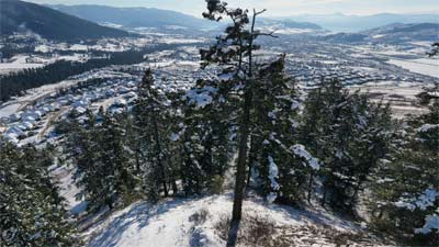
Pano 7 - South Apex tree-level
Card image cap
Go
Pano 9 - Spring 02
Card image cap
Go
Pano 1 - Spring 04
Card image cap
Go
Pano 13 - Spring 06
Card image cap
Go
Pano 2 – South Apex Tree Level
Card image cap
Go
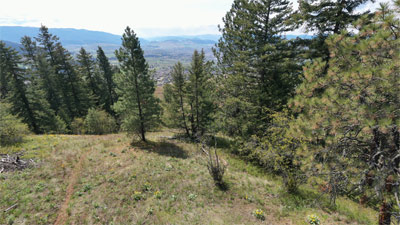
Pano 4 - East Slope ground-level
Card image cap
Go
Pano 6 - East Boundary 100 metres above
Card image cap
Go
Pano 8 - Spring 01
Card image cap
Go
Pano 10 - Spring 03
Card image cap
Go
Pano 12 - Spring 05
Card image cap
Go